Share
Ships on Maps: Pictures of Power in Renaissance Europe (in English)
Richard W. Unger
(Author)
·
Palgrave MacMillan
· Paperback
Ships on Maps: Pictures of Power in Renaissance Europe (in English) - Unger, Richard W.
$ 104.20
$ 109.99
You save: $ 5.79
Choose the list to add your product or create one New List
✓ Product added successfully to the Wishlist.
Go to My WishlistsIt will be shipped from our warehouse between
Thursday, June 20 and
Friday, June 21.
You will receive it anywhere in United States between 1 and 3 business days after shipment.
Synopsis "Ships on Maps: Pictures of Power in Renaissance Europe (in English)"
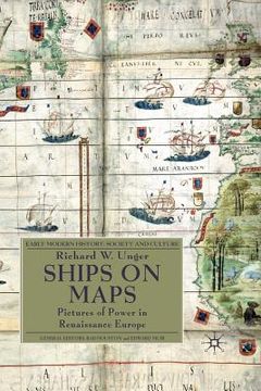
Renaissance map-makers produced ever more accurate descriptions of geography, which were also beautiful works of art. They filled the oceans Europeans were exploring with ships and to describe the real ships which were the newest and best products of technology. Above all the ships were there to show the European conquest of the seas of the world.
- 0% (0)
- 0% (0)
- 0% (0)
- 0% (0)
- 0% (0)
All books in our catalog are Original.
The book is written in English.
The binding of this edition is Paperback.
✓ Producto agregado correctamente al carro, Ir a Pagar.

