Share
U.S. Map-Paper
Mapping Specialists
(Author)
·
Quickstudy Reference Guides
· Poster
U.S. Map-Paper - Specialists, Mapping
Out of Stock
We'll email you when the book is available again
Synopsis "U.S. Map-Paper"
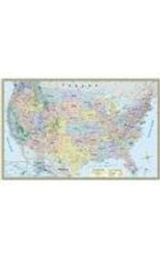
This beautiful map developed hand in hand with cartographers and the QuickStudy team was designed to have as many features as possible without compromising the goal of having a great looking wall map for school, home or office. The larger 50 by 32 inch size was enough to include more features than almost any map at this size. This map has been purchased in quantity by US government officials including the CIA who conducted a thorough review before purchasing. At this price you will not find a better quality map. 50 by 32 inch map includes: Albers Equal Area Projection Map for minimum distortionDetailed topography with underlying satellite image of Earth's surfaceLabeled states, cities, and areas of interest CapitalsTime zoneInterstate highwaysUS roadwaysNational parksNational recreation areasNational monumentsElevationCities represented with population size range Larger city name for larger populationsIcons as locator pin vary based on population sizeOver 1 million500,000 - 999,999250,000 - 499,999100,000 - 249,99950,000 - 99,999Under 50,000Attractive and stylish designQuality 80 lb Ultra C1S PaperMeasures 50 x 32 inches
- 0% (0)
- 0% (0)
- 0% (0)
- 0% (0)
- 0% (0)
All books in our catalog are Original.
The book is written in English.
The binding of this edition is Poster.
✓ Producto agregado correctamente al carro, Ir a Pagar.

